There are many unique geographical features in Sweden. One of them are the many rivers, big or small ones. Some are even declared national rivers.
In the centre -south of Sweden the three rivers “Dalälven meet in Dalarna. Västerdalälven and Österdalälven merge to become Dalälven in Älvmötet, Djurås,
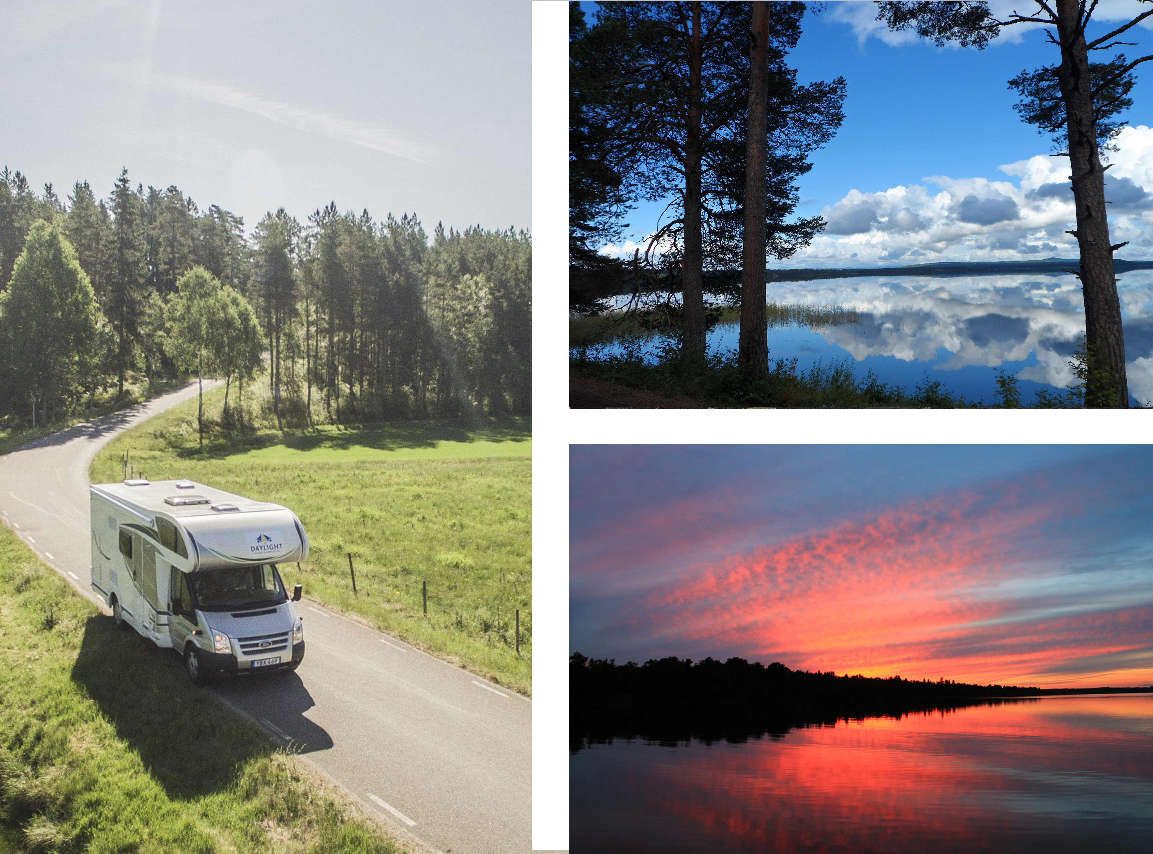
If you follow this unique water course long you will find great views, nature sites and “fjärdar” (narrow coastal inlets). It is a trip that will take you from the Norwegian border in west to the Baltic sea in east.
The river Dalälven starts from the Scandinavian Mountain Range, in the north of Dalarna, and reaches the Bothnian Sea in the northern Upland. The springs of Dalälven you can find around the lake Stor-Våndasjön. A lake that divide Sweden and Norway from each other. The estuary of the river, on the baltic sea coast is east of Skutskär in the municipality of Älvkarleby
The Dalälven River is the second longest river in Sweden, flowing approximately 520 kilometers from its source in the Norwegian mountains to the Baltic Sea. The river runs through the central part of Sweden, and the surrounding region covers several counties, including Dalarna, Västmanland, Gävleborg, and Uppsala. The landscape is diverse, featuring forests, agricultural land, and water bodies.
Three Swedish rivers meet
The river Västerdalälven (the western Dalälven) starts in the western part of the region of Dalarna, crossing the border to Norway. You might not be able to follow the river waterway but it is a great compass and will guide you to places you might not visit otherwise. Such a place is Vansbro and Nås.
In addition. Vansbro is famous for the open water swimming event “Vansbrosimmningen,”. It is one of the popular Swedish sport classics and attracts yearly 16,000 participants. Join in and swim in the river, upstream! As a competitor you would swims 3,000 meters in total. (2,000 meters in the Vanån and approximately 1,000 meters in the Västerdalälven).
In Nås you can enjoy several folk music festivals or just enjoy taking a hike, cycle or take a canoe (free along on Västerdalälven. There is a camping in Nås next to “folkets park”. If you want to celebrate midsummer this could be a great place to go. The owners will gladly share tips with you. So do not be afraid to ask or follow them on social media.
The river Österdalälven (the eastern Dalälven) starts in the northern part of Dalarna. The meeting of the rivers (Älvmötet) takes as mentioned above in the town Djurås. Here you can watch the rivers meet and join forces as it becomes river Dalälven, the third longest river in Sweden, 542 km.
Swedish Roots and local history, the people of the Valley of Österdalälven
The Österdalälven River flows through village Älvdalen. Älvdalen municipality host an outdoor adventure resort , Idre, with great sports, nature and life quality experiences.
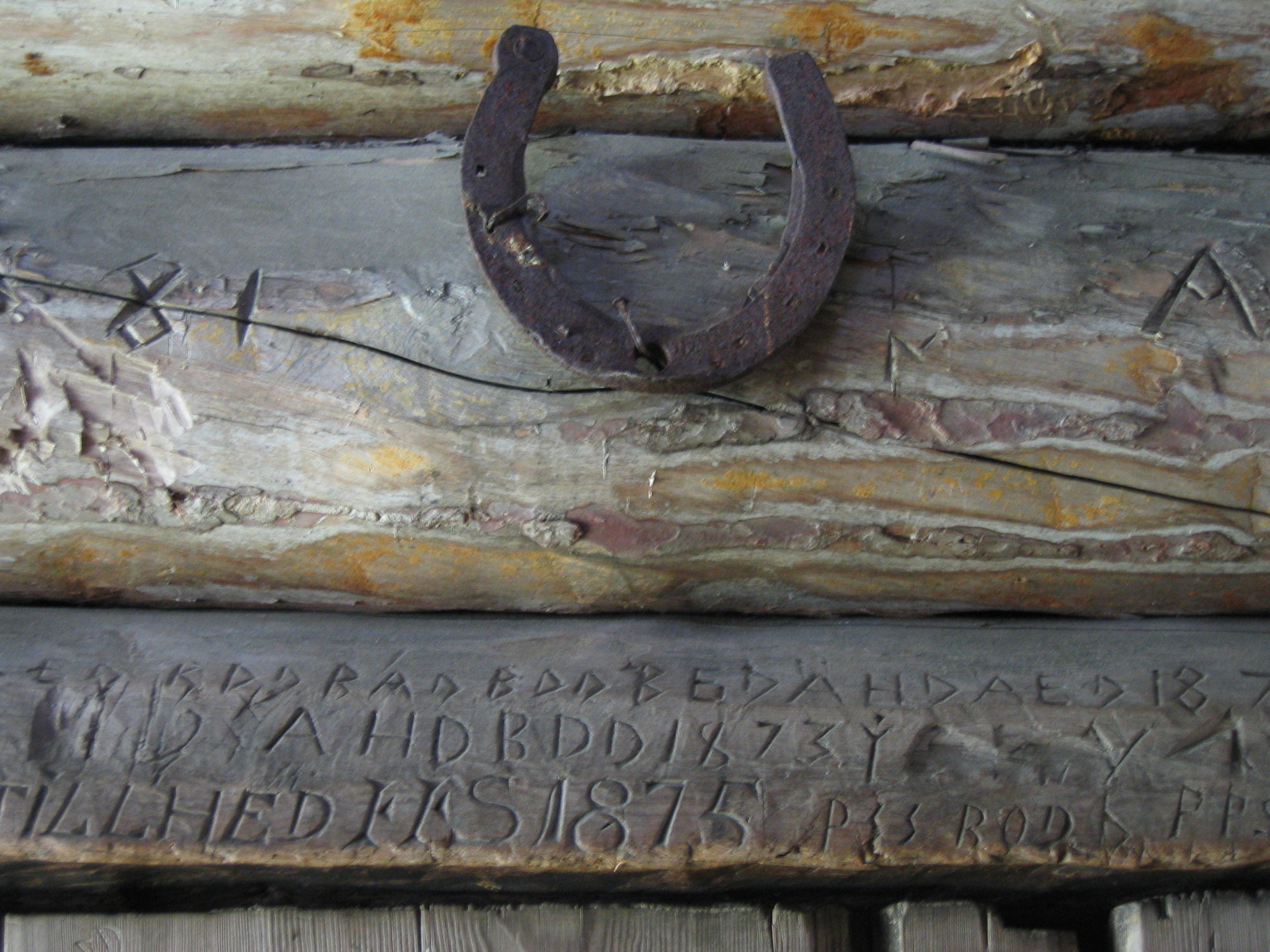
In addition, this is in interesting place for lovers of Swedish history and ethnography. The dwellers of the valley of the river Österdalvdalen lived in isolation, deep within the Swedish forest and mountains. They created their own culture, language (Elfdalian) and even communicated through rune script, most commonly found on houses, walls and inscribed in furniture.
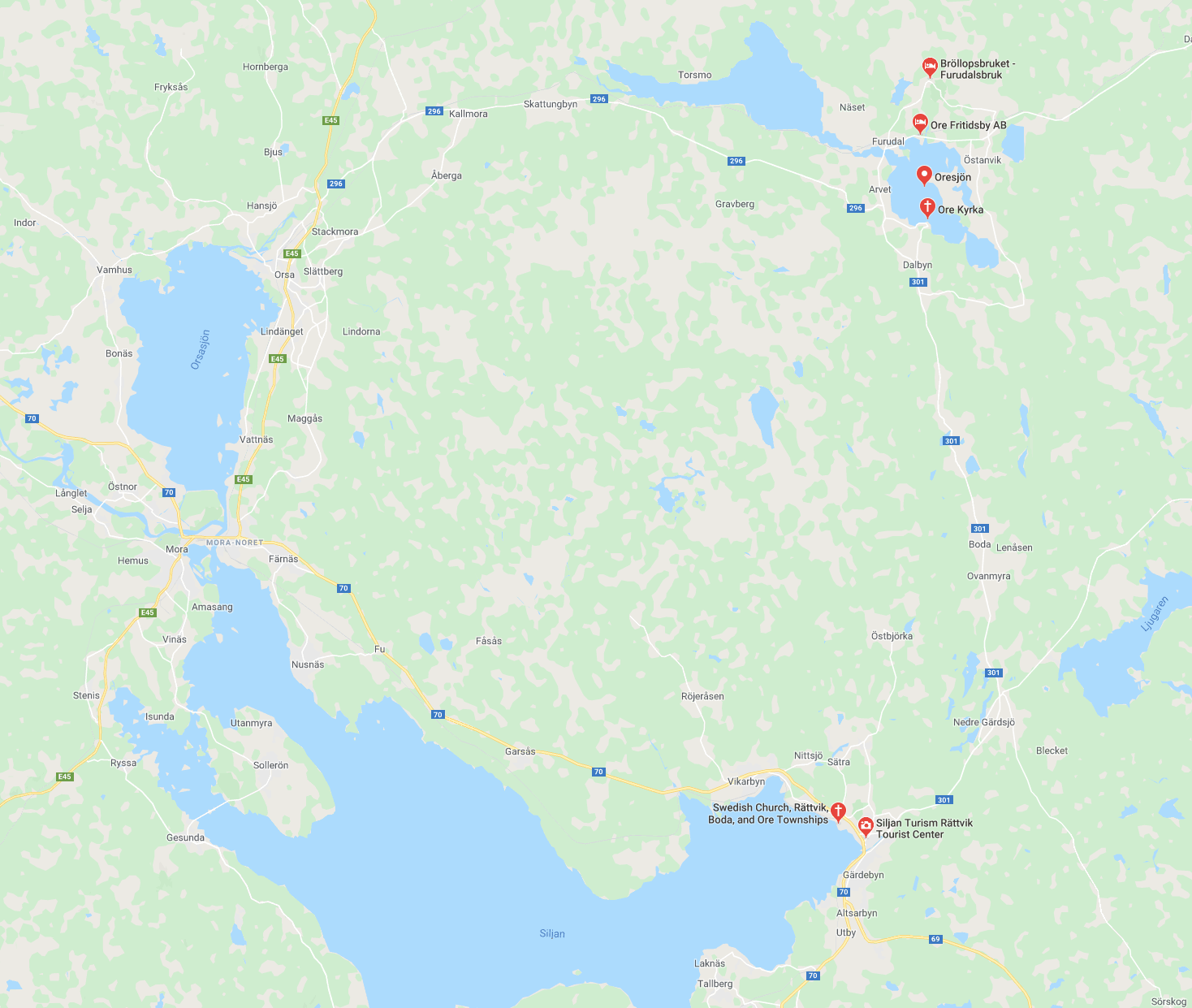
Geopark Siljan
The river Österdalälven flows past the historical towns of Mora and Leksand and into and through, the Lake Siljan.
Spend some days around Siljan and discover the circular water system created by a meteorite. Certainly, Sijansringen is a place with great potentials if you are interested in geoturism. This area is today a Geopark. The Geopark Siljan is located in the municipalities of Orsa, Mora, Rättvik and Leksand.
In Djurås the meeting of the rivers and join forces into Dalälven
Culture and nature values of historical and national interest round Dalälven
Historically the local dwellers, who lived around the river Dalälven, used the regularly flooded meadows for haying and grazing. Above all, the river together with the meadows was an invaluable resource. It created conditions for high biodiversity.
However, today the open landscape is, to a great extent, overgrown. Consequently there is loss of biodiversity and ecosystem services. The biosphere reserve project Nedre Dalälven River Landscape works to restore the historical landscapes and within the area you will find many areas declared areas of national interest.
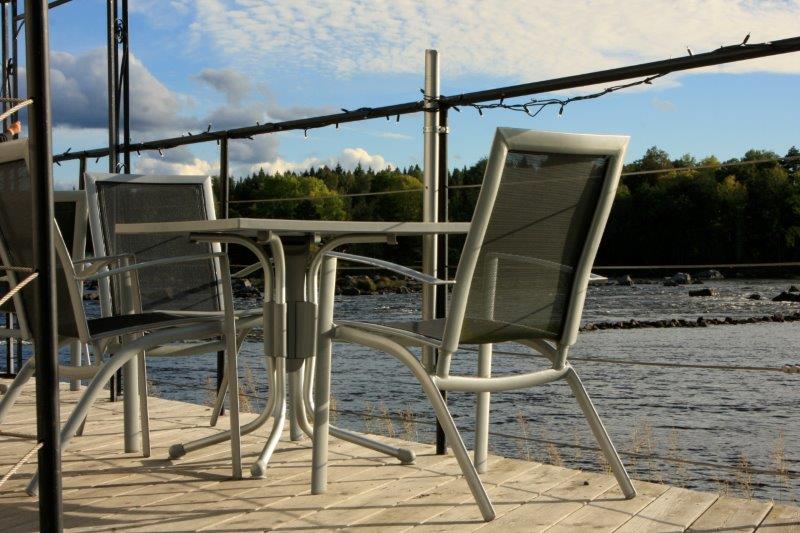
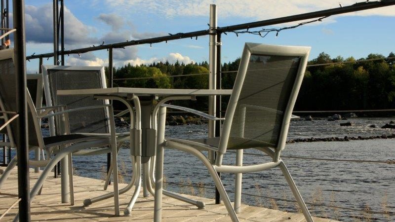
Follow the river through rapids and Fjärds towards the Baltic Sea
“A fjard (in Swedish fjärd) is an inlet formed by the marine submergence of formerly glaciated valleys and depressions within a rocky glaciated terrain of low relief. Fjards are characterized by a profile that is shorter, shallower, and broader than the profile of a fjord”.
The river forms the rapids of Tyttbo and now hosts one of it largest fjärds Färnebofjärden National park . The national park is on the bio frontier to Norrland, where the fauna och the Swedish south meet the fauna of the Swedish north. Within the border of the National park you have four Swedish counties Dalarna, Västmanland, Uppsala och Gävleborg. For instance, you can find more than 200 islands across this fjärd.
Continue to the Gysinge and discover another fjärd, Hedesundafjärden-Bramsöfjärden. The river continues towards Untrafjärden, followed by more rapids leading up to Marmafjärden. Finally, the river goes through its last rapids at Älvkarleby before rejoining the Baltic Sea.